THE LOCAL EDIT
The places.
The photographers.
Local photographs bring these guides to life. Some show the neighbourhood itself; others show a nearby landmark or the wider local area, as identified in each caption. Event images identify the venue or local setting and are not presented as photographs of a future event.
Images are displayed with responsive crops. Follow the source links for the original photographs and their individual licences. A photograph’s licence applies to that image.
The Friday Edit

Tribeca Coffee Co.
Wafa Fahad Photography · supplied by Hiba Rizvi
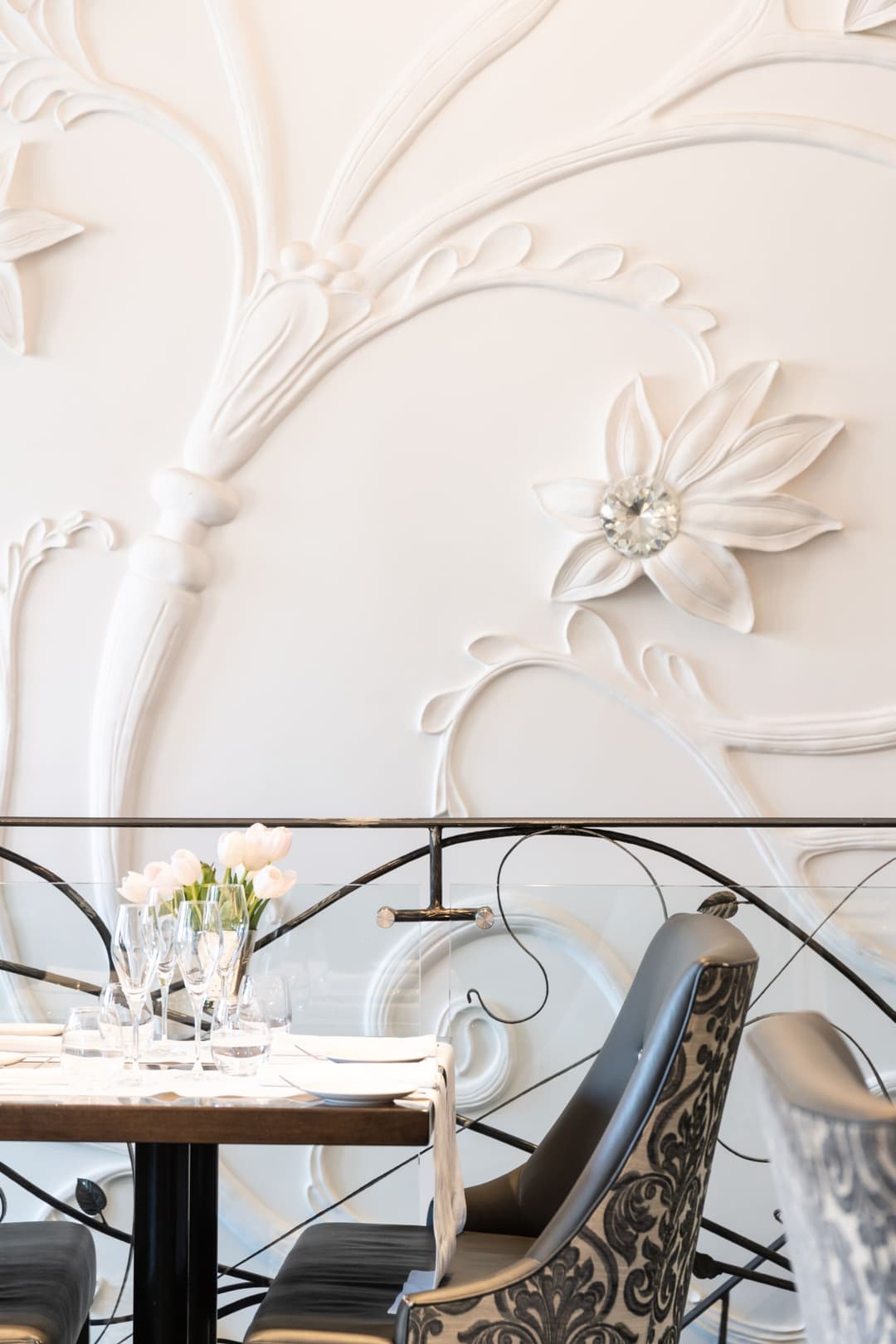
Pasqualino
Pasqualino · official website
Photograph source
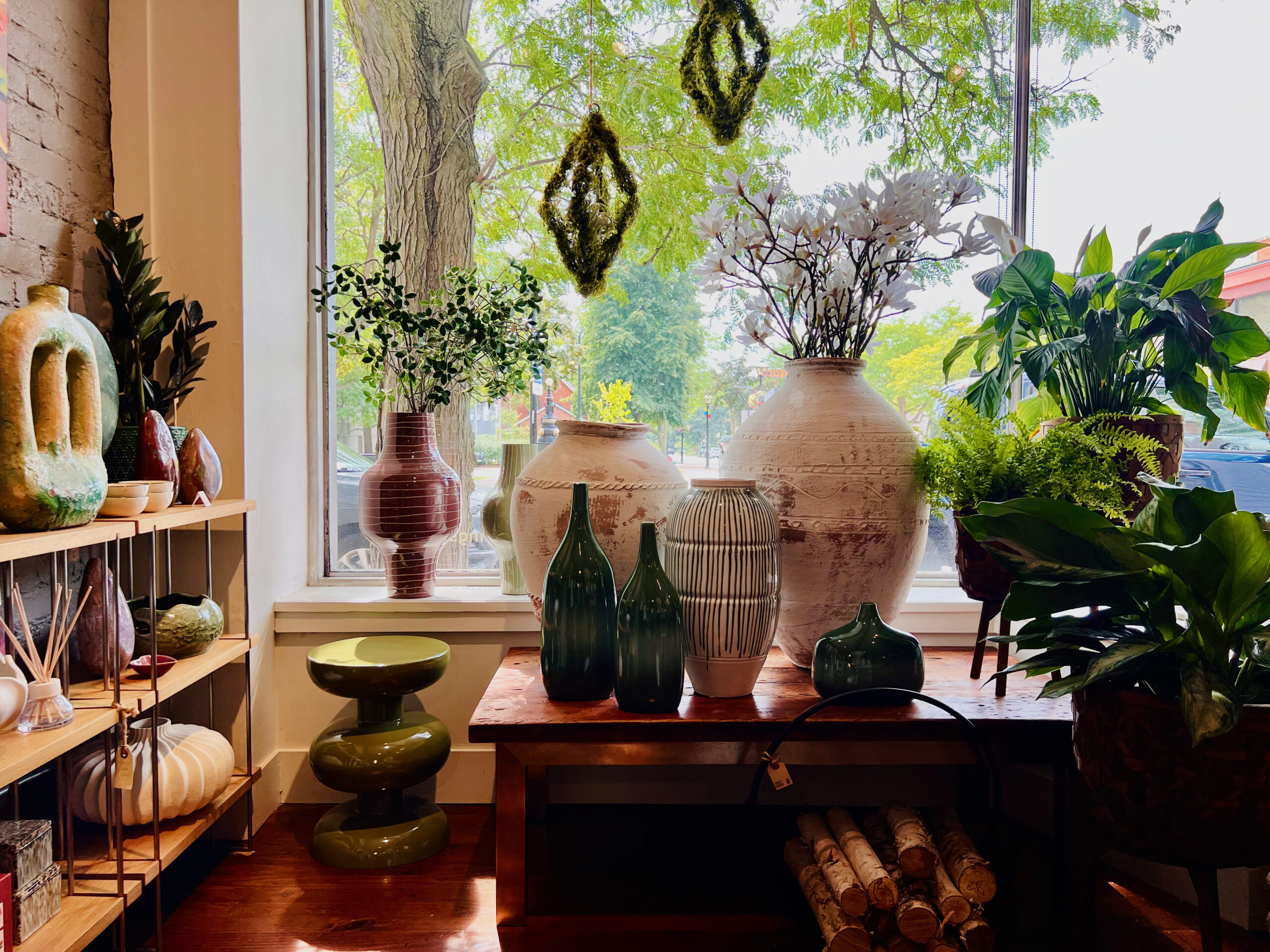
Centro Garden
Centro Garden · official website
Photograph source
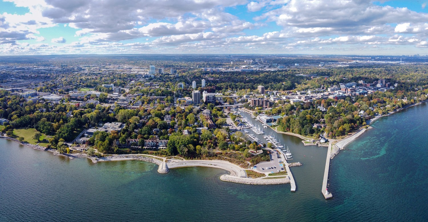
Old Oakville area · local setting.
Photograph by Canmenwalker
Original photograph · CC BY 4.0
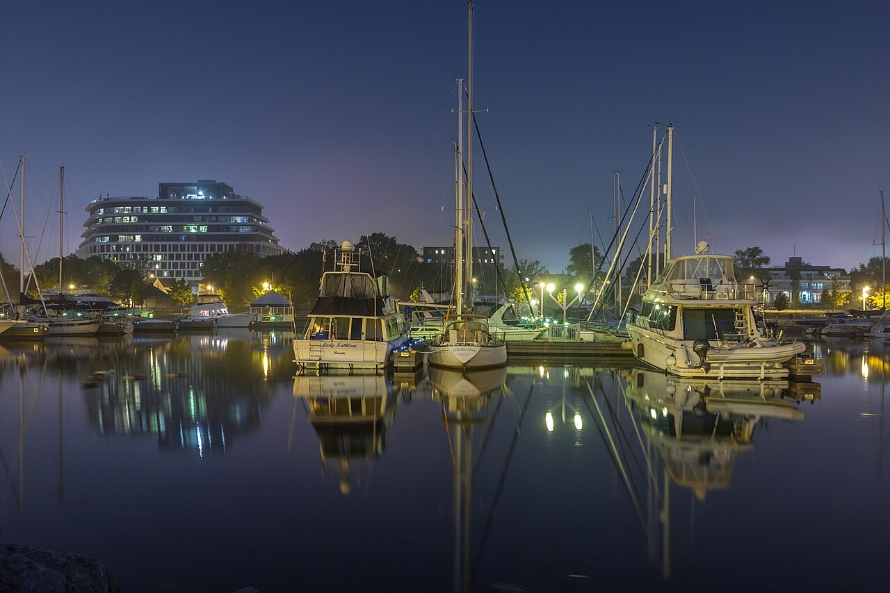
Oakville waterfront · local setting.
Photograph by Alex Krasavtsev from Oakville, Canada
Original photograph · CC BY 2.0
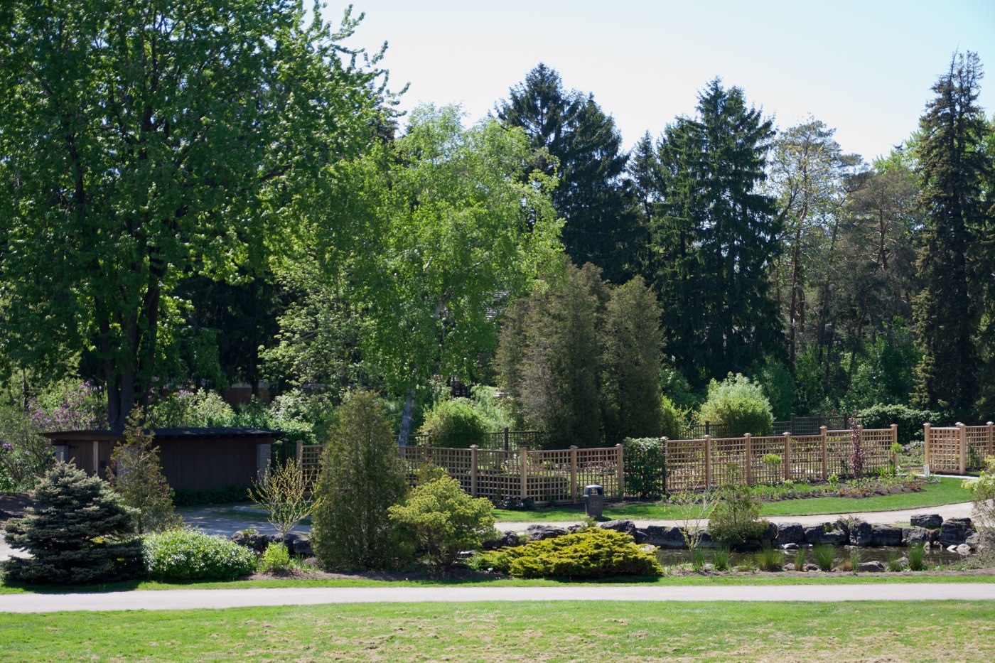
Southeast Oakville context: Gairloch Gardens, west of Clearview.
Photograph by Perry Quan from Oakville, Canada
Original photograph · CC BY-SA 2.0
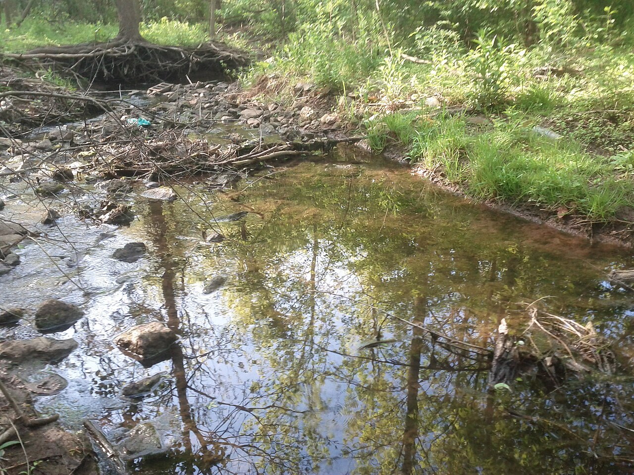
West Oakville trail context: a creek in Glen Abbey, south of Palermo West.
Photograph by Nartb
Original photograph · CC BY-SA 3.0
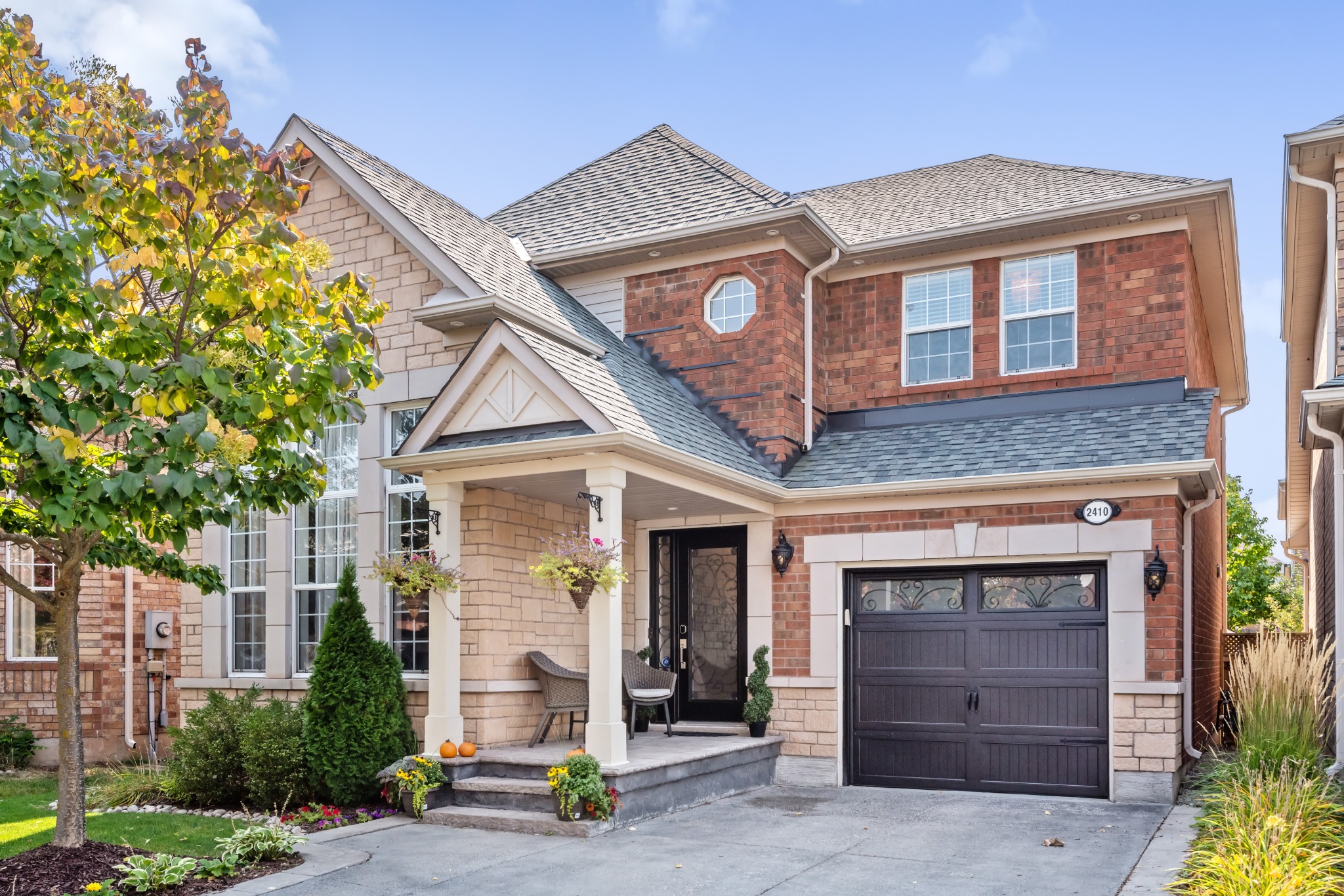
Oakville neighbourhood · illustrative photo.
Photograph by Hiba Rizvi · MyHomeViewer
Original photograph · Provided by Hiba Rizvi
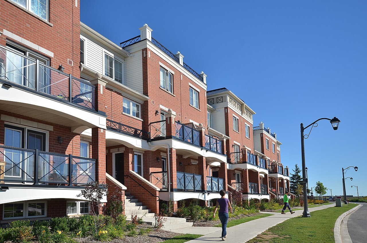
A streetscape in Oakville’s River Oaks community.
Photograph by Copyright Queen's Printer for Ontario, photo source: Ontario Growth Secretariat, Ministry of Municipal Affairs
Original photograph · CC BY 2.0
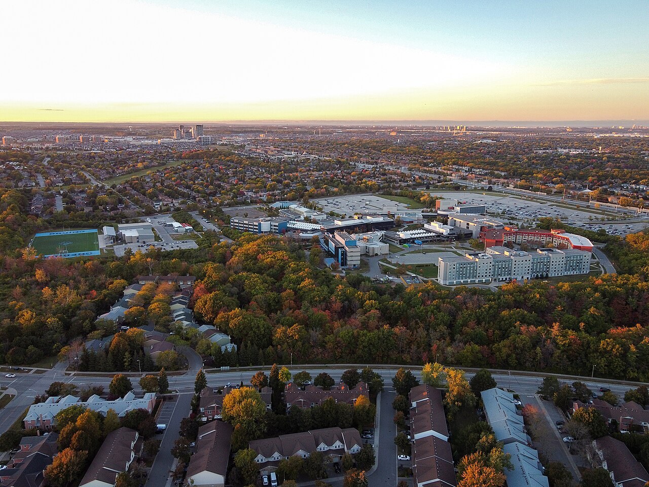
Sheridan College’s Trafalgar Campus, in the College Park area of Oakville.
Photograph by Canmenwalker
Original photograph · CC BY 4.0
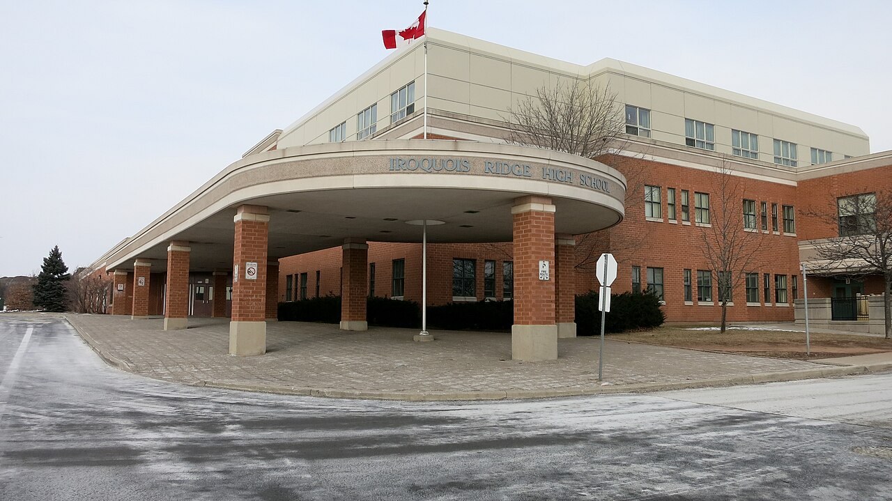
Iroquois Ridge High School in Oakville’s northeast.
Photograph by Whpq
Original photograph · CC BY-SA 4.0
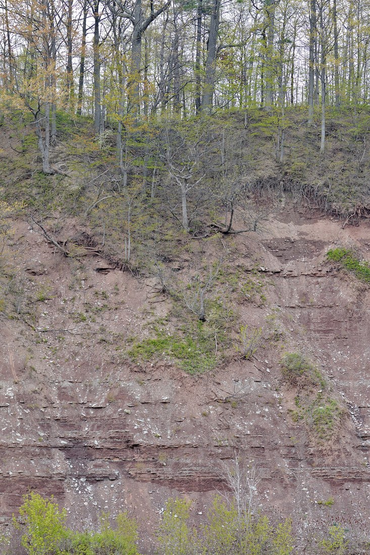
Oakville park context: Lions Valley Park; this image shows a town-wide recreation destination.
Photograph by Ryan Hodnett
Original photograph · CC BY-SA 4.0
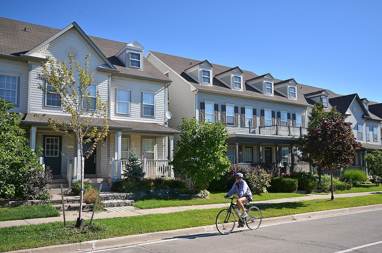
Nearby residential context: the River Oaks community in Oakville, southwest of the Uptown Core.
Photograph by Copyright Queen's Printer for Ontario, photo source: Ontario Growth Secretariat, Ministry of Municipal Affairs
Original photograph · CC BY 2.0

Sixteen Mile Sports Complex, North Oakville.
Photograph by Hiba Rizvi · MyHomeViewer
Original photograph · Provided by Hiba Rizvi
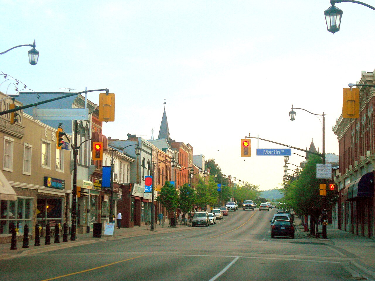
Local setting · historic downtown Milton.
Photograph by Hozombel at English Wikipedia
Original photograph · CC BY-SA 3.0
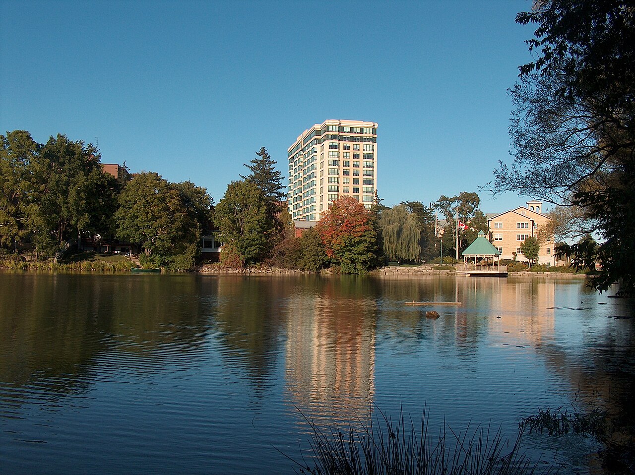
Milton area: Mill Pond in the historic town centre.
Photograph by User:Decimal10
Original photograph · CC BY-SA 3.0
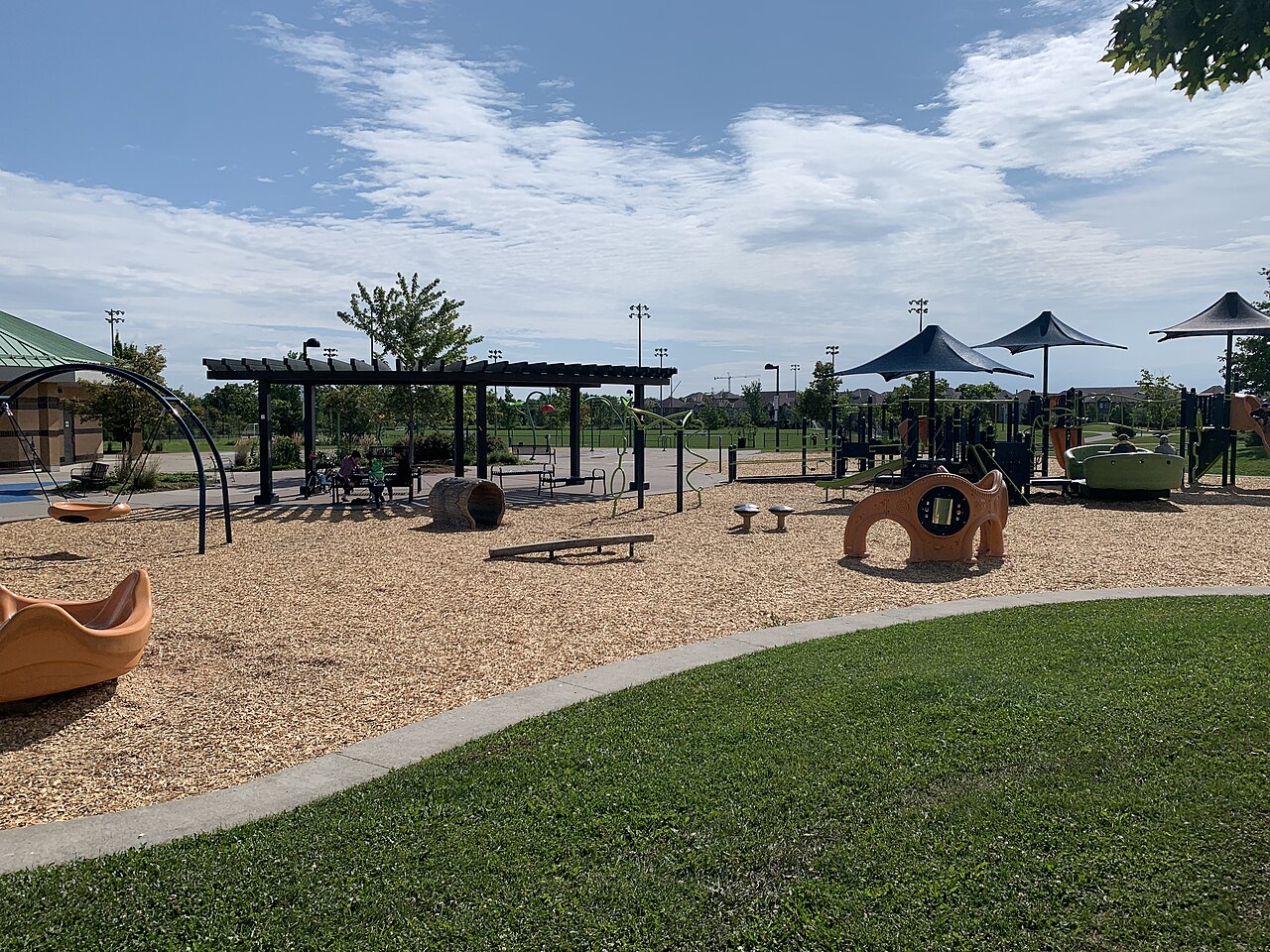
Playground structures at Milton Community Park.
Photograph by R27710!
Original photograph · CC0
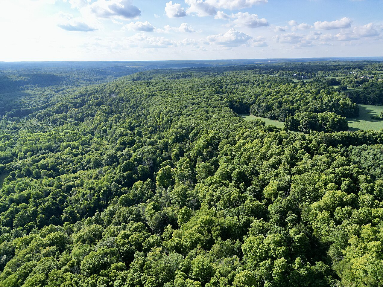
Milton area: Niagara Escarpment forest and cliffs at Rattlesnake Point.
Photograph by Bryanmackinnon
Original photograph · CC BY-SA 4.0
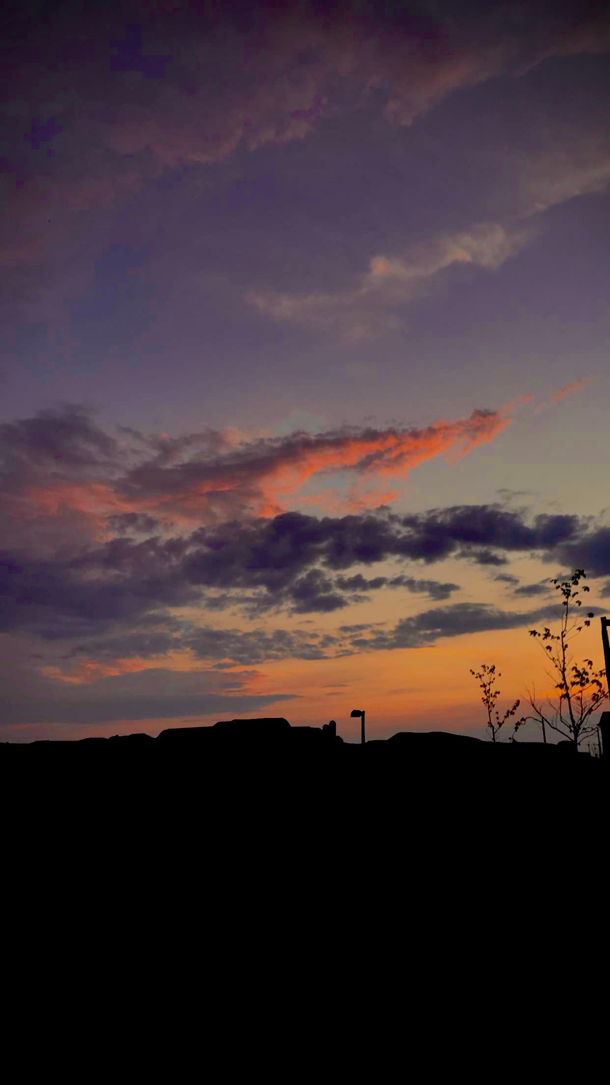
Sunset from Cobban Neighbourhood Park, Milton.
Photograph by Zainxq
Original photograph · CC BY 4.0
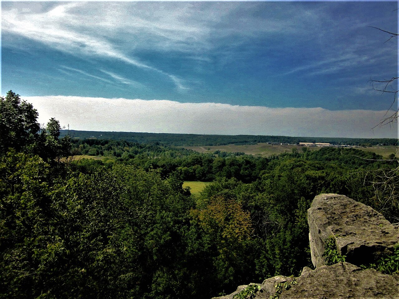
Milton area: the countryside view from Rattlesnake Point Conservation Area.
Photograph by Mhsheikholeslami
Original photograph · CC BY-SA 4.0
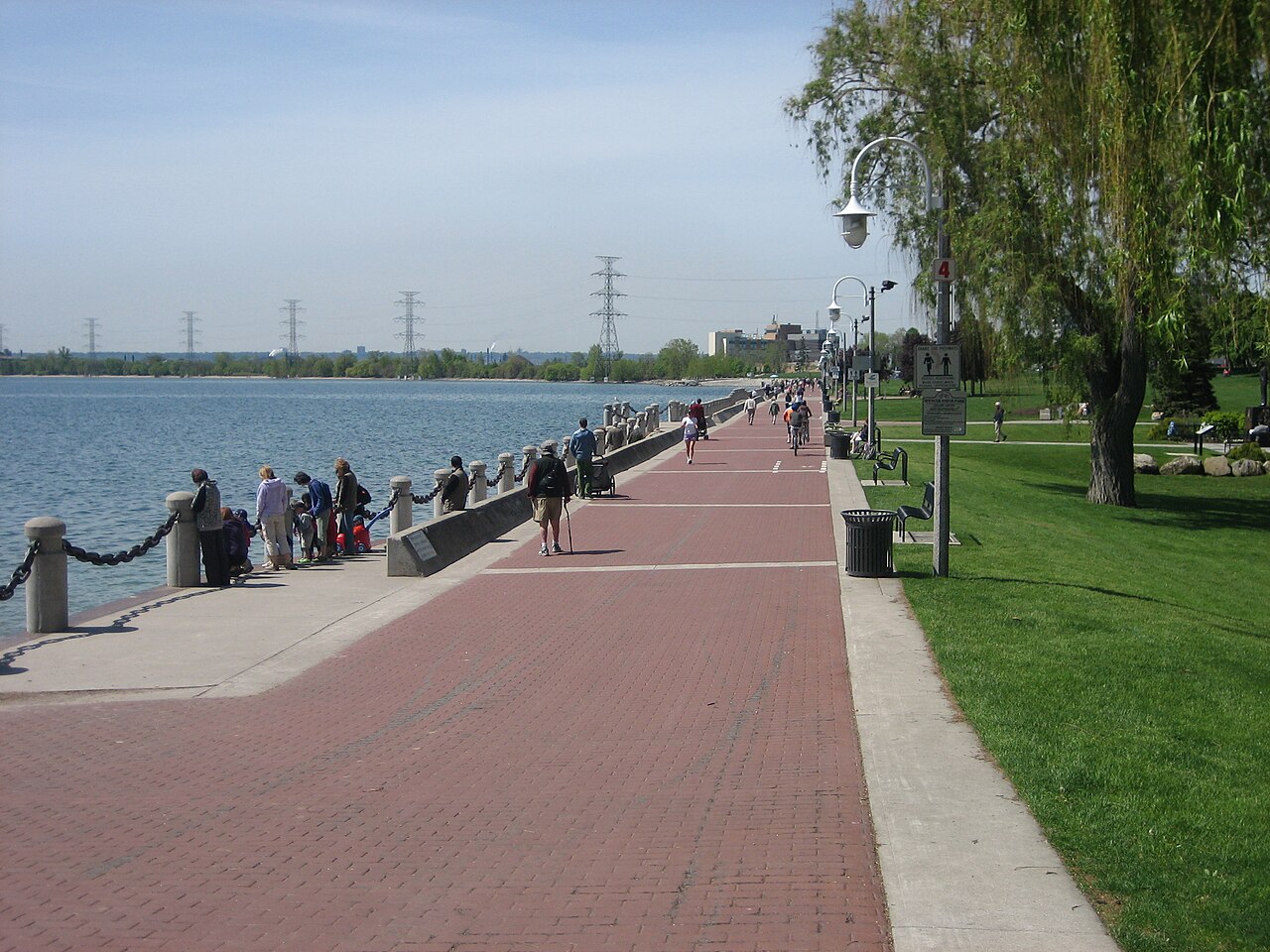
Burlington context · the promenade at Spencer Smith Park.
Photograph by Andrew Lynes
Original photograph · Public domain
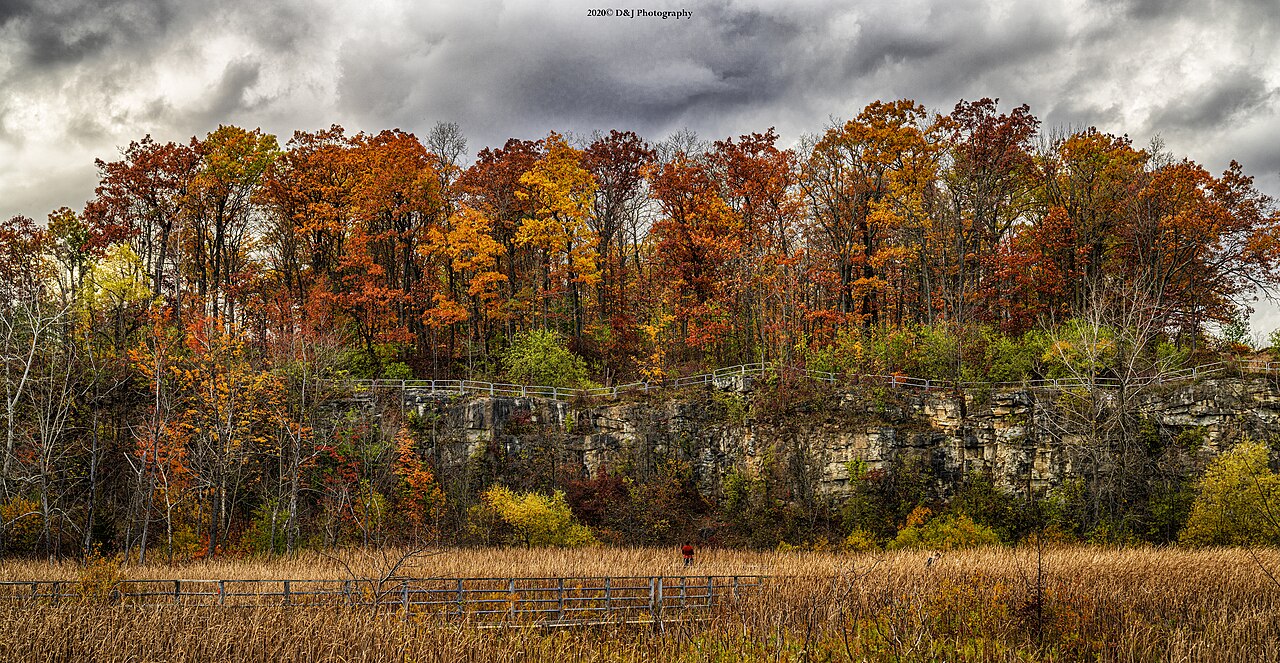
Nearby: Kerncliff Park in northwest Burlington.
Photograph by David Zhang from Canada
Original photograph · CC BY-SA 2.0
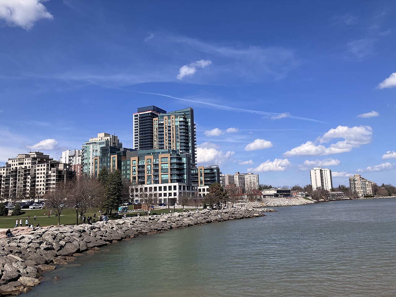
Burlington context · the city’s downtown waterfront.
Photograph by Gogerr
Original photograph · CC BY-SA 4.0
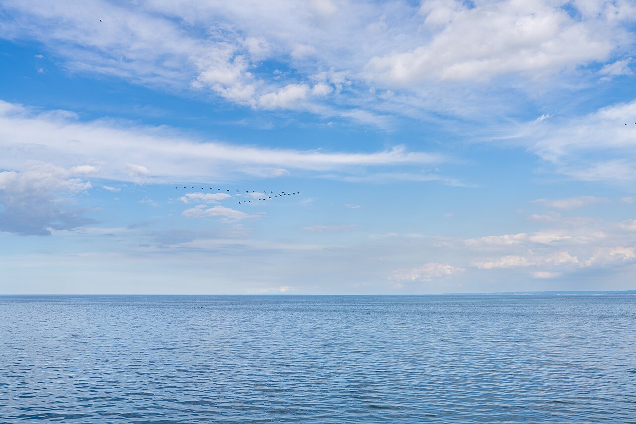
Burlington context · Lake Ontario from the city waterfront.
Photograph by Maksim Sokolov (maxergon.com)
Original photograph · CC BY-SA 4.0
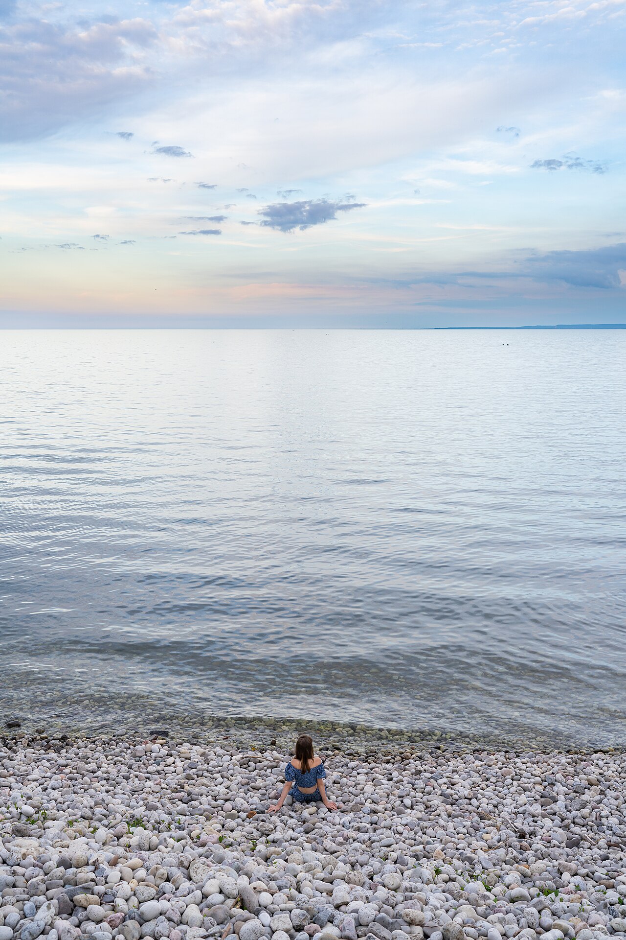
Burlington context · a quiet view from the city waterfront.
Photograph by Maksim Sokolov (maxergon.com)
Original photograph · CC BY-SA 4.0
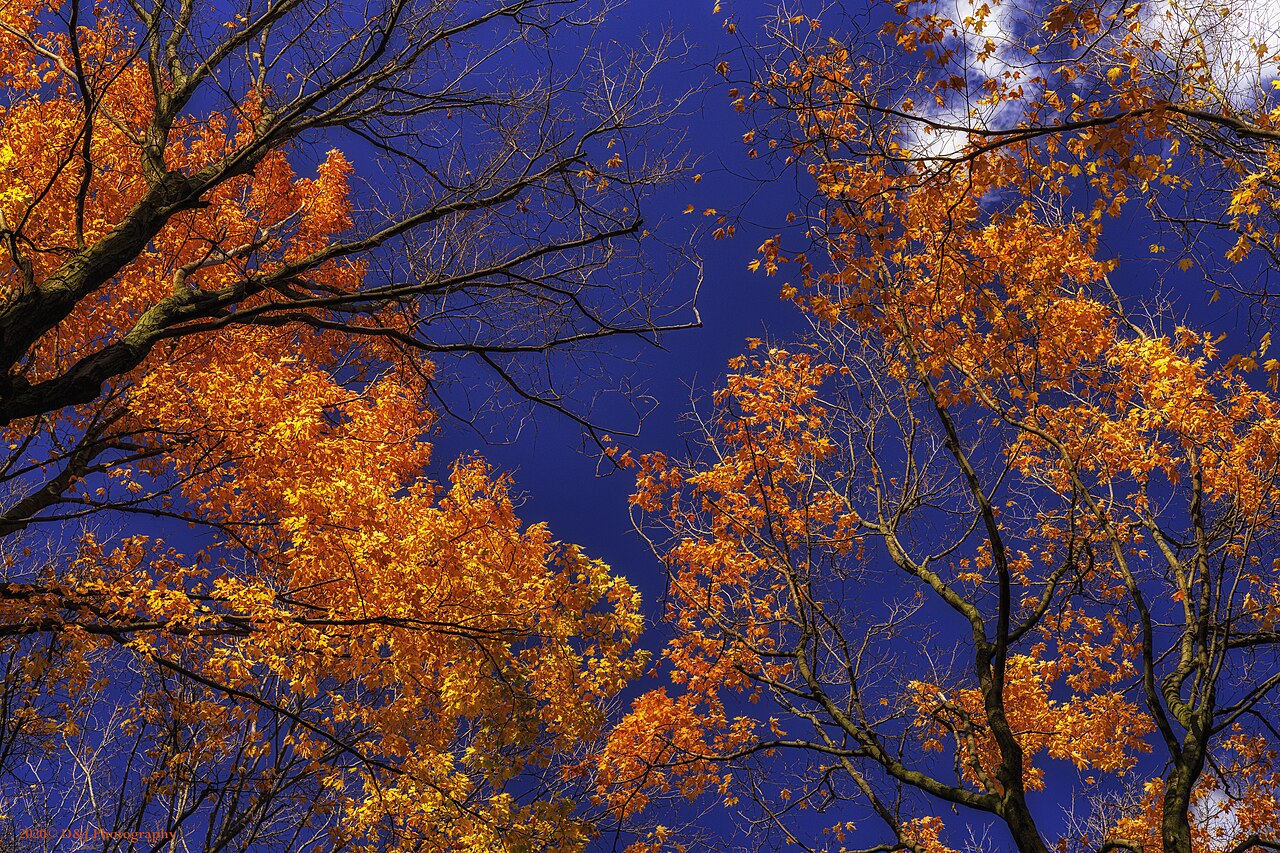
Burlington context · woodland at Kerncliff Park.
Photograph by David Zhang from Canada
Original photograph · CC BY-SA 2.0
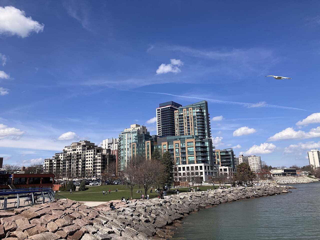
Burlington context · the downtown lakeshore.
Photograph by Gogerr
Original photograph · CC BY-SA 4.0
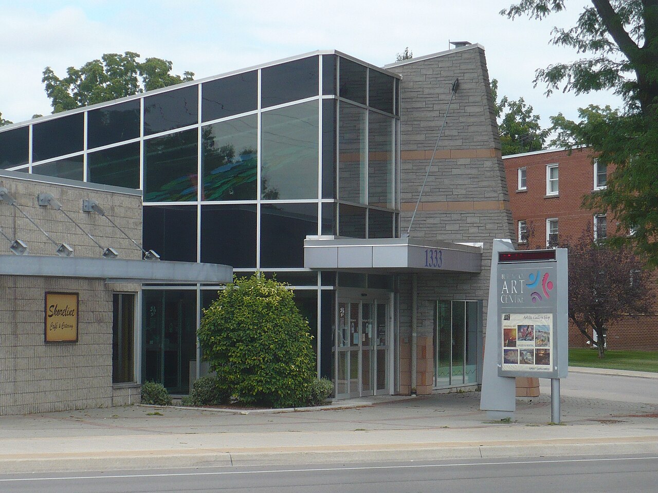
Venue: Art Gallery of Burlington.
Photograph by Secondarywaltz
Original photograph · CC BY-SA 3.0